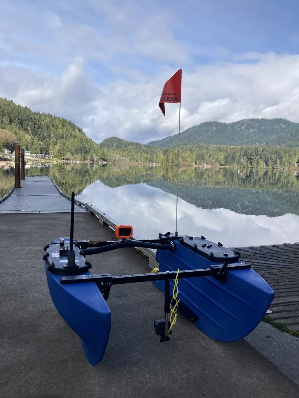
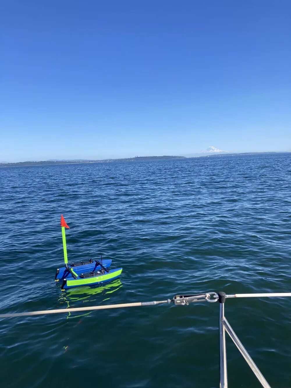
Autonomous, Unmanned Surface Vessel for seafloor mapping, side scan sonar mapping, on-the-water monitoring, and deploying sensors.
Link: BlueRobotics BlueBoat USV
BlueBoat System Overview and Demonstration — testing in Lake Sutherland
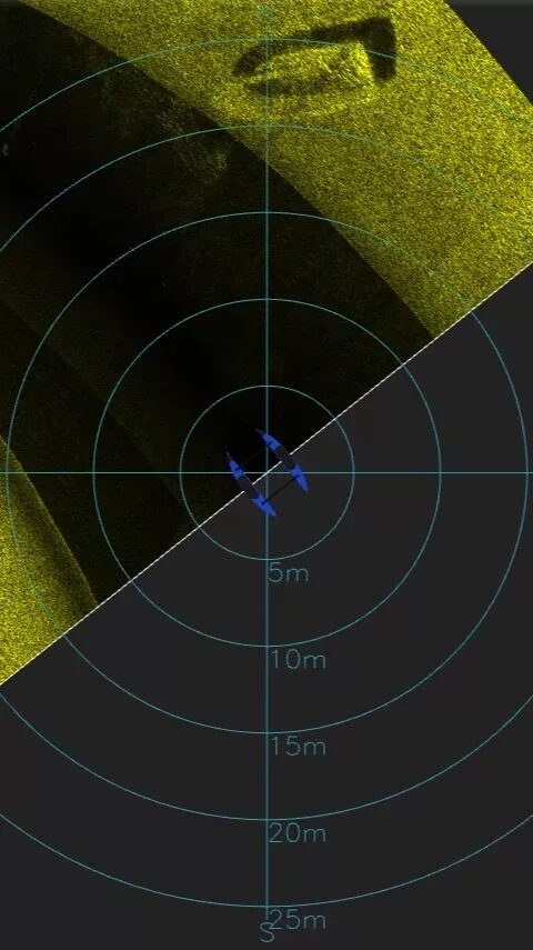
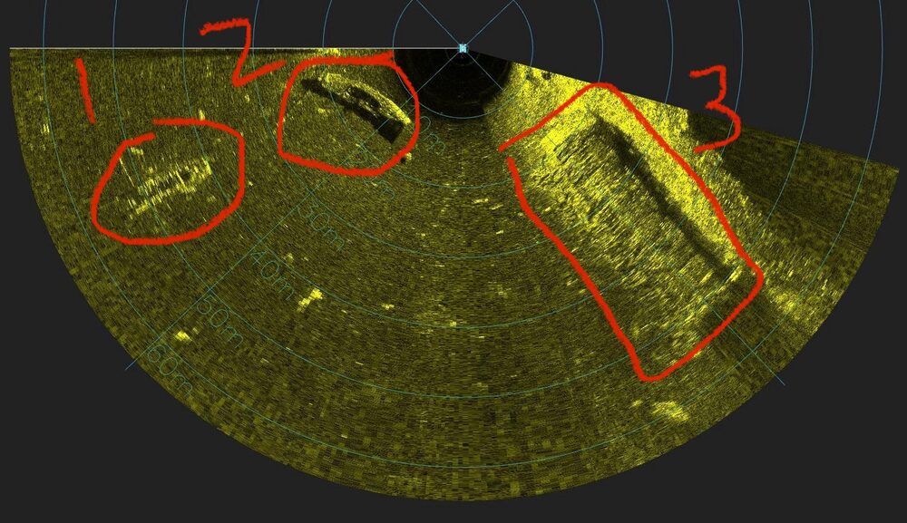
Side scan sonars provide ‘contextual understanding’ along the seabed and are often used for seafloor characterization and finding / locating objects of interest. Hull-mounted Omniscan 450 SS units send 450kHz acoustic pulses and measure the intensity of the substrate's reflection — a ‘low frequency’ that prioritizes a variety of operating depths (up to 150m) at the sacrifice of lower resolution when compared to high res (1600 kHz) systems. Raw files (.svlog) can be exported as .xtf and imported to common side scan software such as SonarWiz for mosaic creation.
MBES systems are used to create bathymetric (seafloor) geo-located maps. Operating in depths as shallow as 2ft, the BlueBoat can go where few survey vessels can go — near shore, bodies of water without boat ramp accessibility, shallow lakes, and more.
Testing results coming soon!
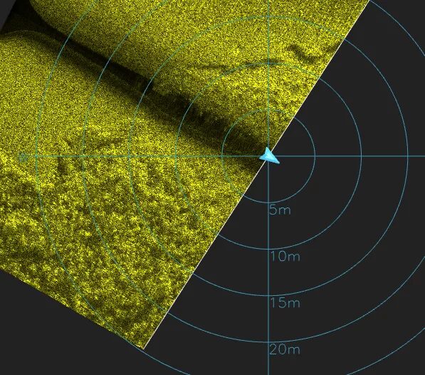
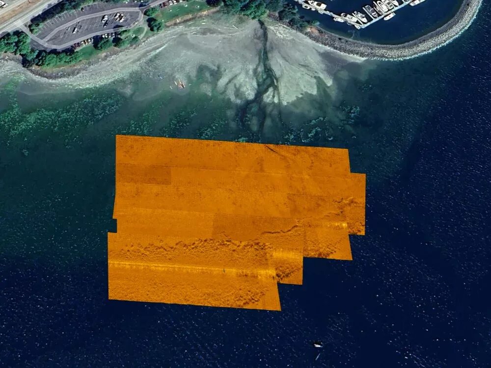
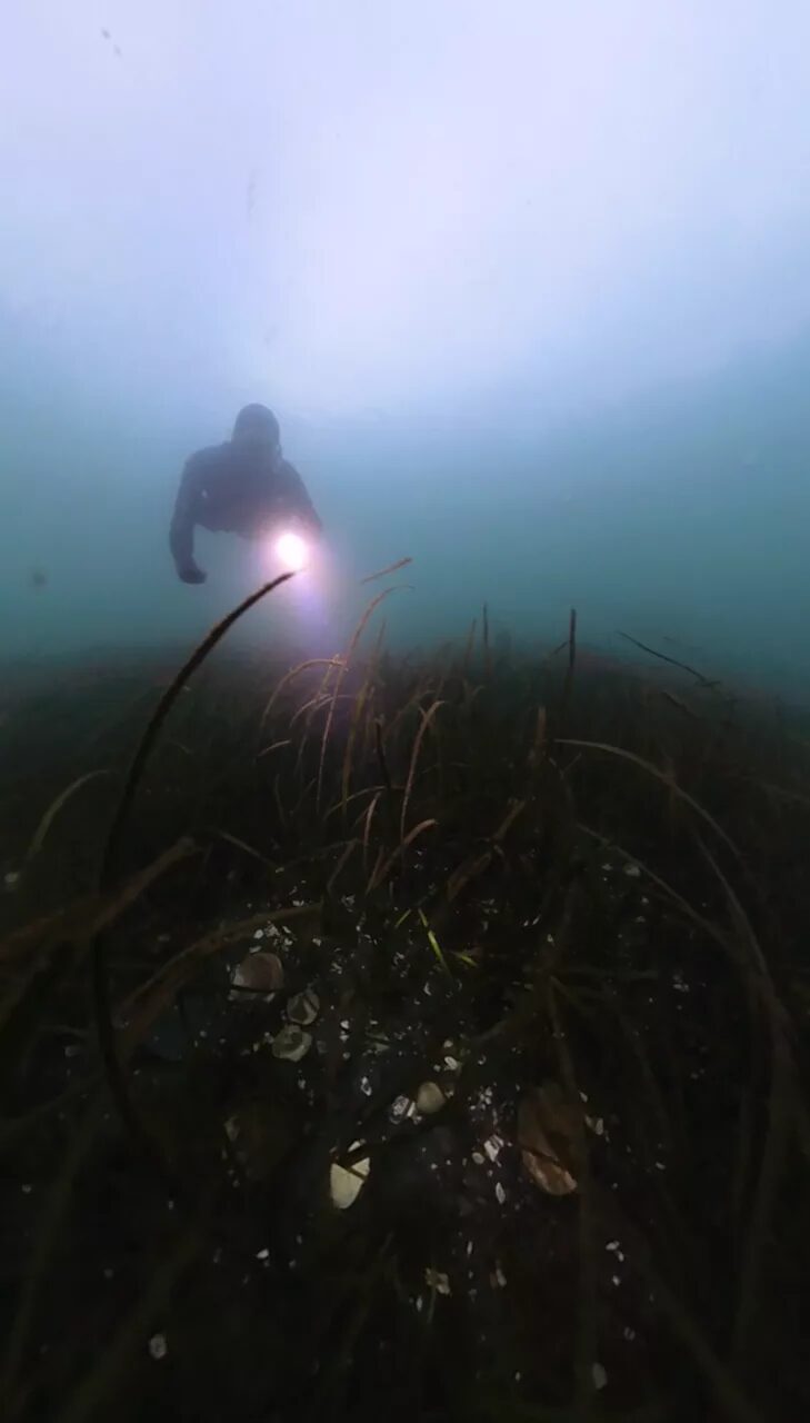
The Washington Department of Natural Resources, Blue Robotics, and Remote Coast Systems partnered to map near shore seagrass beds at the inlet south of John Wayne Marina (Sequim, WA). This was a ‘proof-of-concept’ experiment to ensure Cerulean Sonar's Omniscan 450 SS units could detect the edge of the seagrass beds for mapping purposes. The depth was ~15ft, side scan range set to 25m, and sonar frequency was a fixed 450 kHz. As visible in the bottom of the side scan mosaic below, the sonars successfully detected the edges of the eelgrass bed — showing promise for mapping seagrass and understory kelp, and establishing a baseline for repeat missions to temporally assess changes in near-shore ecosystems. Thank you to project collaborators Austin Green (DNR) and Tony White (Blue Robotics).
To access raw data files and learn more, see this Blue Robotics Article and this Instagram Clip.
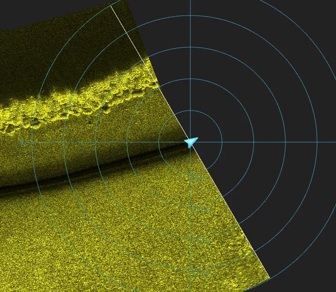
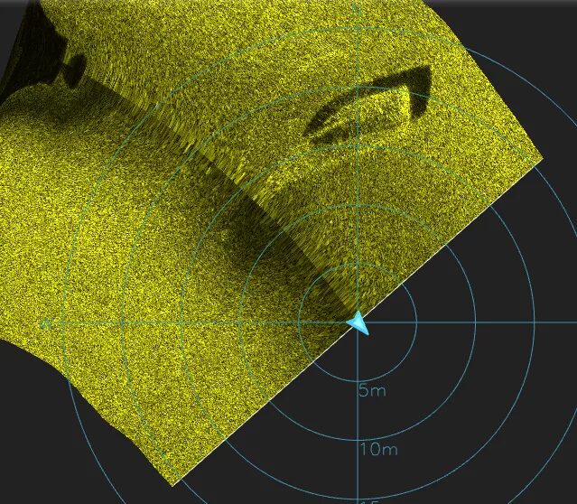
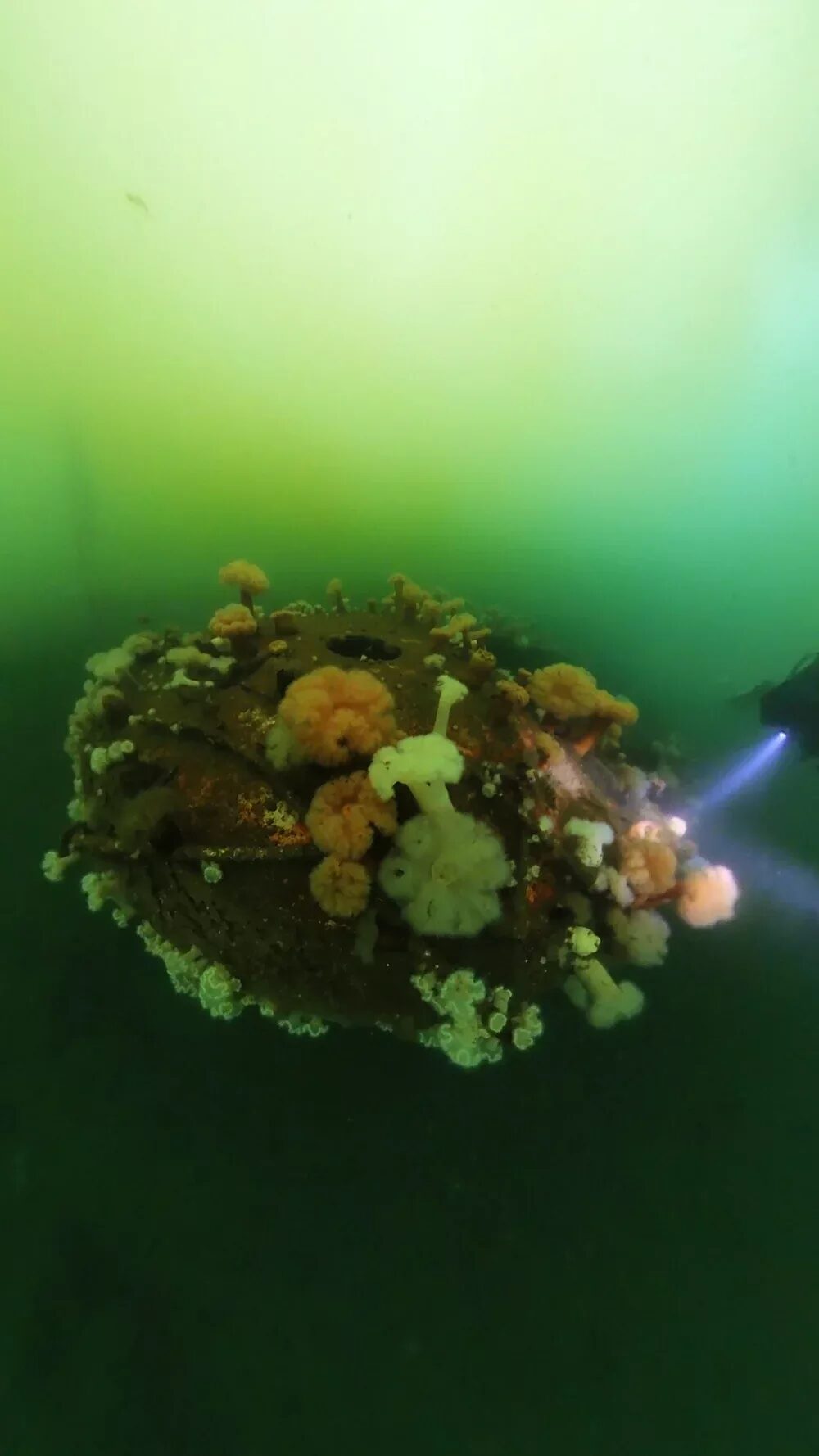
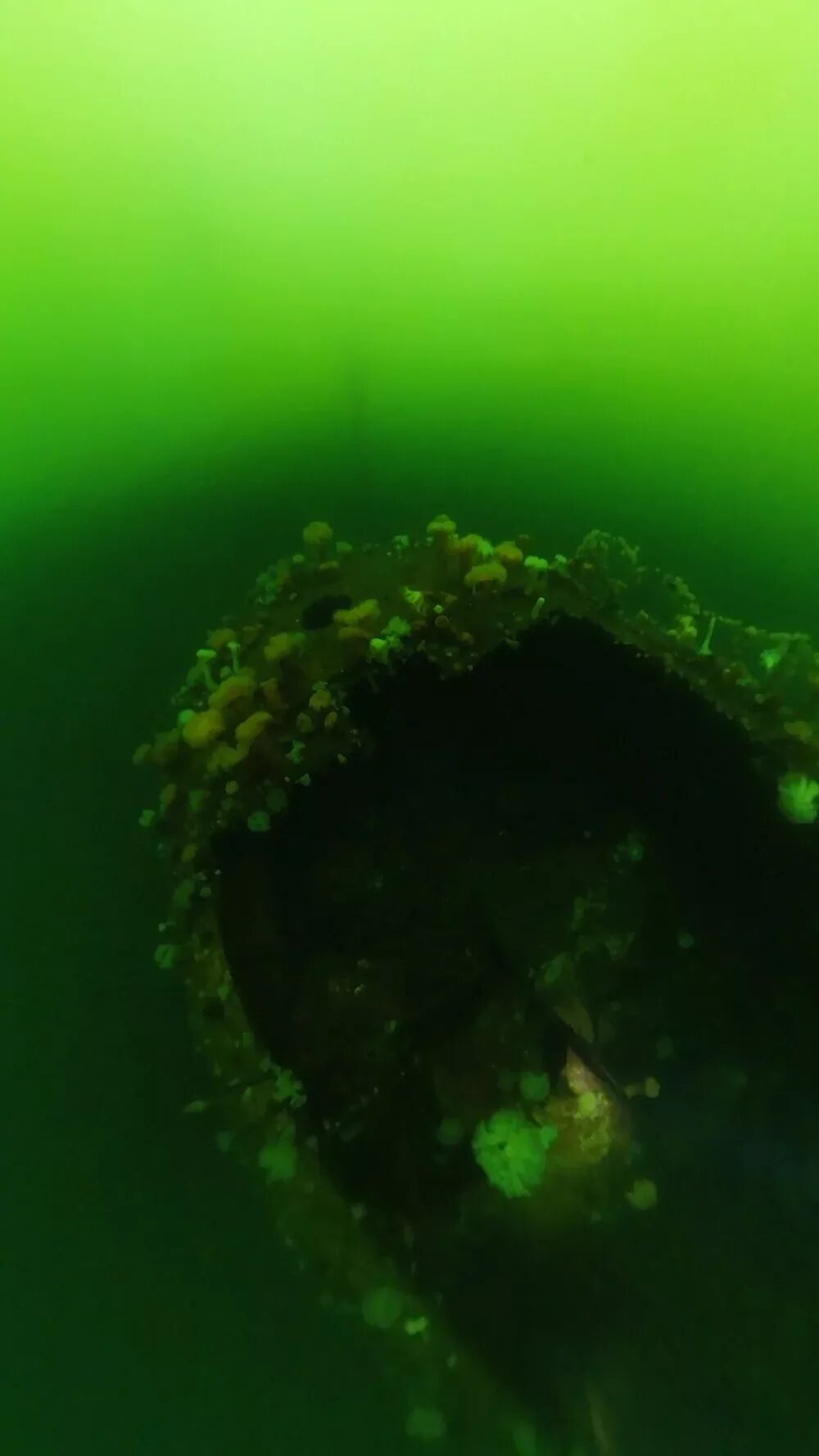
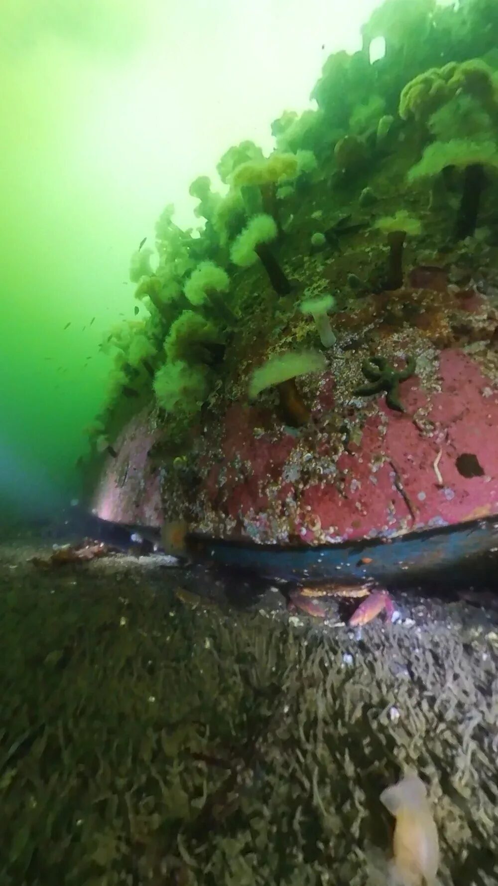
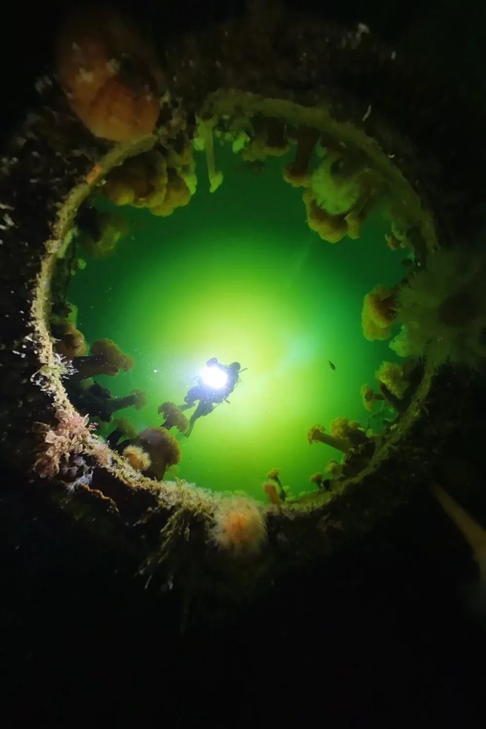
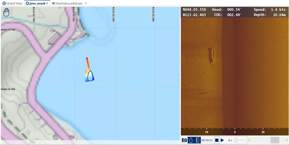
Local divers stumbled upon a shipwreck on a training dive, but were unable to relocate it. Since no other divers could find it, the ship colloquially became known as “Rumor Wreck.” Equipped with Omniscan side scan sonars, the BlueBoat scanned the area and found the wreck! Divers returned to capture photos and video. Local papers and historical societies were contacted for details about the wreck, though nothing has emerged. The wreck measures 30ft long x 10ft wide x 6ft tall and sits 30ft below the surface.
Check out the viral Instagram videos: Part 1 and Part 2.
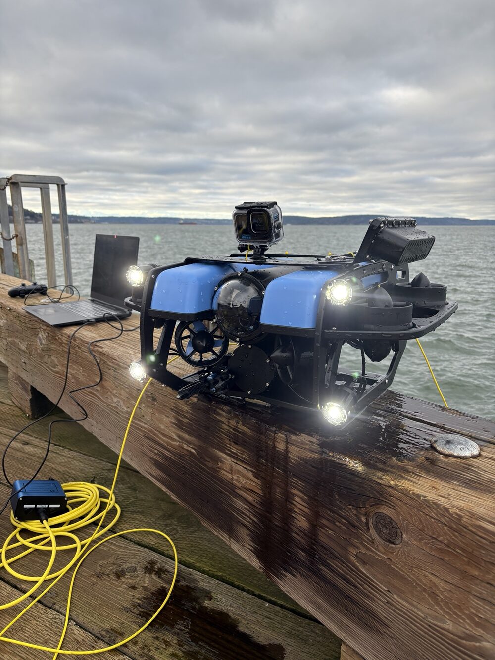
Remotely operated vehicle for video, search and recovery, and actuation.
Link: BlueRobotics BlueROV2
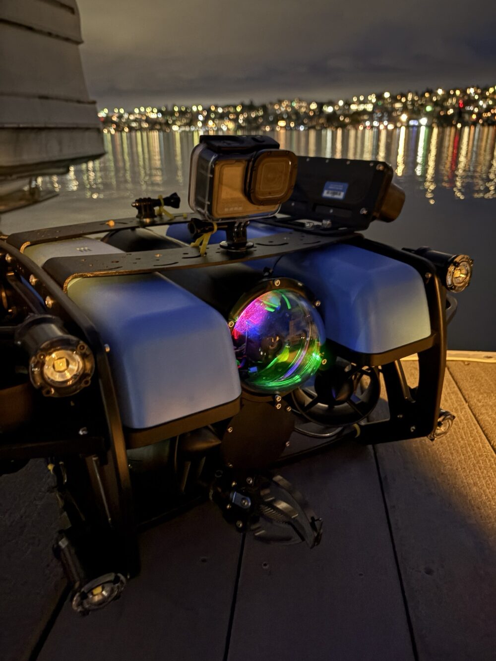
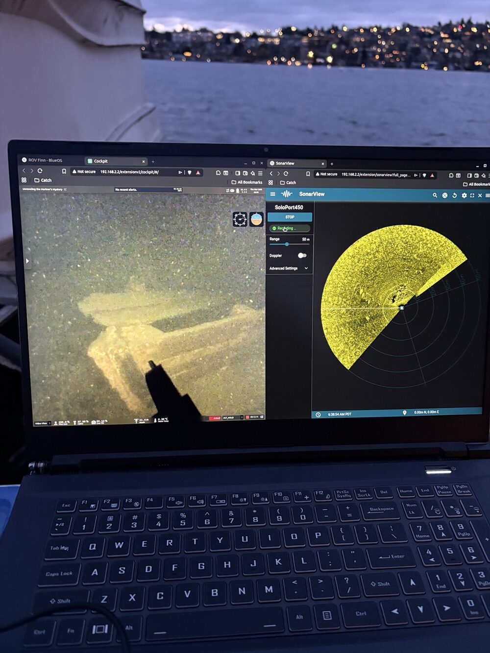
Dock inspection and 360° camera footage available on request — get in touch on the Contact page.